 地理信息科学专业英语.docx
- 文档编号:17556911
- 上传时间:2023-07-26
- 格式:DOCX
- 页数:9
- 大小:41.06KB
地理信息科学专业英语.docx
《地理信息科学专业英语.docx》由会员分享,可在线阅读,更多相关《地理信息科学专业英语.docx(9页珍藏版)》请在冰点文库上搜索。
地理信息科学专业英语
地理信息科学专业英语
LT
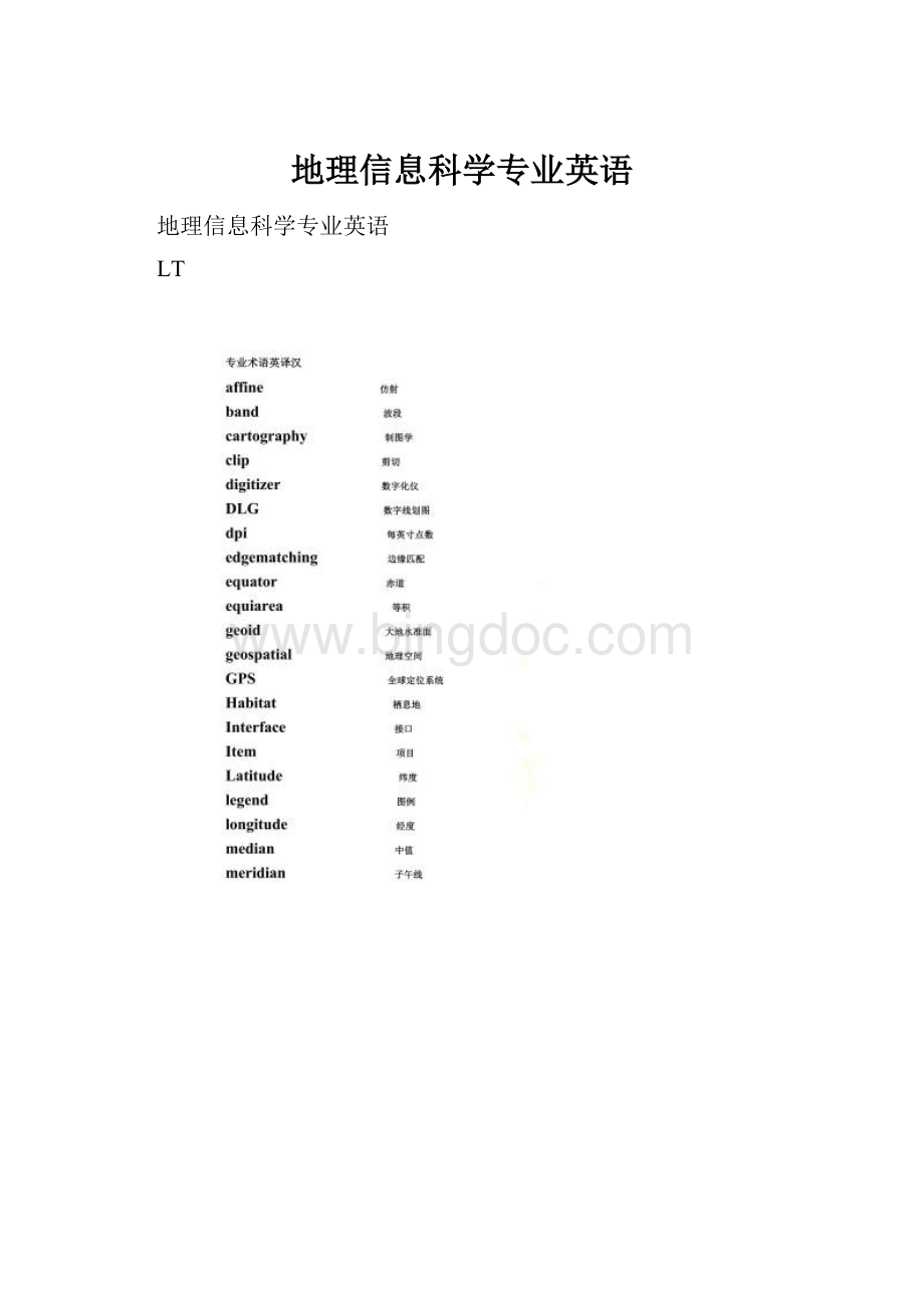
专业术语汉译英
保护区 protected area
比例尺 Scale bar
标准差 Standard deviation
标准图幅 Standard picture frame
单精度 Single precision
地理空间数据 Geospatial data
点缓冲区 Point buffer
动态分段 Dynamic segmentation
度量标准 Metrics
多项式变换 Polynomial transformation
高程基准 Elevation base
跟踪算法 Tracking algorithm
规则格网 Rules grid
过渡带 Transition zone
基于位置服务 Based on location service
畸形线 Malformation line
几何变换 Geometric transformation
检验图 Inspection chart
解析几何 Analytic geometry
空间要素 Space element
平面坐标系统 Planar coordinate system
曲流河 Meandering river
人口普查地段 Census Lot
上四分位数 The upper quartile
矢量数据模型 Vector data model
数据可视化 data visualization
数据探查 Data exploration
双精度 Double precision
水文要素 Hydrological elements
泰森多边型 Tyson Polygons
统一建模语言 Unified Modeling Language
投影坐标系统 Projection coordinate system
线缓冲区 Line buffer
遥感数据 Remote sensing data
用材林 Timber forest
晕渲法 Halo rendering method
指北针 Compass
属性表 Property sheet
最短路径分析 Shortest path analysis
最小二乘法 Least squares method
翻译例子如下。
1.Ageographicinformationsystem(GIS)isacomputersystemforcapturing,storing,querying,analyzing,anddisplayinggeographicallyreferenceddata.
1.地理信息系统(GIS)是用于捕捉,存储,查询,分析和显示地理参考数据的计算机系统。
2.Anewlydigitizedmaphasthesamemeasurementunitasthesourcemapusedindigitizingorscanning.Ifmanuallydigitized,themapismeasuredininches,sameasthedigitizingtable.
2.新数字化地图与数字化或扫描中使用的源地图具有相同的测量单位。
如果手动数字化,地图以英寸为单位进行测量,与数字化表格相同。
3.Althoughidealfordiscretefeatureswithwelldefinedlocationand,shapes,thevectordatamodeldoesnotworkwellwithspatialphenomenathatvarycontinuouslyoverthespacesuchasprecipitation,elevation,andsoilerosion.
3.对于具有明确位置和形状的离散特征,尽管理想,矢量数据模型不能很好地处理在空间连续变化的空间现象,如降水,海拔和土壤侵蚀。
4.Butthemigrationfromthegeorelationaltotheobject-baseddatamodelshouldberelativelyeasybecauseitisintuitivetothinkofspatialfeaturesasobjects.
4.从基础数据到基于对象的数据模型的迁移应该相对容易,因为将空间要素视为对象是直观的。
5.NewGISdatacanbecreatedfromavarietyofdatasources.Theyincludesatelliteimages,fielddata,streetaddresses,textfileswithxandycoordinates,andpapermaps.
5.可以从各种数据源创建新的GIS数据。
它们包括卫星图像,现场数据,街道地址,带有x和y坐标的文本文件以及纸质地图。
6.Projectionconvertsdatasetsfromgeographiccoordinatestoprojectedcoordinates,andreprojectionconvertsfromonetypeofprojectedcoordinatestoanothertype.
6.投影将数据集从地理坐标转换为投影坐标,再投影从一种类型的投影坐标转换为另一种类型。
7.Spatialdataeditingreferstotheprocessofadding,deleting,andmodifyingfeaturesindigitallayers.Amajorpartofspatialdataeditingistoremovedigitizingerrors.
7.空间数据编辑是指在数字图层中添加,删除和修改特征的过程。
空间数据编辑的主要部分是删除数字化错误。
8.Thegeorelationaldatamodelstoresspatialandattributedataseparatelyinasplitsystem:
spatialdataingraphicfilesandattributedatainarelationaldatabase.
8.地理数据模型将空间数据和属性数据分别存储在分割系统中:
图形文件中的空间数据和关系数据库中的属性数据。
用英文回答下列问题,练习每章后面的问答题。
例子如下:
1.Describethetwocommontypesofdataforterrainmappingandanalysis.
1.Two important types of field data that can be used in a GIS project are survey data and global positioning
systme (GPS) data.
2.Describethreevariationsinbuffering.
2.The buffer distance can vary by the values of a given field. Buffering can be on either the left side or the
right side of the line feature, instead of both sides. Buffer zones may remain intact so that each buffer zone
is separate from others, or dissolved so that there
are no overlapped areas between buffer zones.
3.Explaintheadvantagesanddisadvantagesoftherasterdatamodelvs.thevectordatamodel.
3.The main advantage of the raster data model is having fixed cell locations, which make it easier for data
manipulation, aggregation, and analysis. The main disadvantage is its weakness in representing the precise location of spatial features.
4.Explainthedifferencebetweenlocationerrorsandtopologicalerrors.
4.Location errors such as missing polygons or distorted
lines relate to the geometric inaccuracies of spatial
features, whereas topological errors such as dangling lins and unclosed polygons relate to the logical inconsistencis between spatial features.
5.Explainthedifferencebetweenthegeorelationaldatamodelandtheobject-baseddatamodel.
5.The object-based data model differs from the georelational data model in two aspects. First,the object-based data model stores both the spatial and attribute data of spatial
features in a single system rather than a split system.
Second, the object-based data model allows a spatial feature (object) to be associated with a set of properties and methods.
6.Explaintheimportanceofmapprojection.
6.A map projection offers a couple of advantages. First, a map projection allows us to use two-dimensional maps,
either paper or digital, instead of a globe. Second, a map
projection allows us to work with plane or projected
coordinates rather than longitude and latitude values.
Computations with geographic coordinates are more complex and
yield less accurate distance measurements.
7.Howcanananalysismasksavetimeandeffortforrasterdataoperations?
7.Because an analysis mask limits data analysis to cells that do not carry the cell value of no data. it can
save time and effort for raster data operations.
8.Namefivetoolsortechniquesforvectordataanalysis.
8.Buffering ,overlay , distance measurement, spatial statistics and map manipulation .
9.NamethethreetypesofsimplefeaturesusedinGISandtheirgeometricproperties.
9.A point has 0 dimension and has only the property of location.A line is one-dimensional and has the property of length. And an area is two-dimensional and has the
properties of area (size) and perimeter.
10.Nametwoexampleseachforintegerrastersandfloating-pointrasters.
10.Examples of integer rasters are land use and soil
types. Examples of floating-point rasters are precipitation and elevation.
11.Thegeorelationaldatamodelusesasplitsystemtostorevectordata.Whatdoesasplitsystemmean?
11.A split system stores spatial data in graphic files
and attribute data in a relational database. Typically, a georelational data model uses the feature label or ID to link the two components.
12.Theoutputfromaviewshedanalysisisabinarymap.Whatdoesabinarymapmeaninthiscase?
12.The output from a viewshed analysis is a binary map, which showing visible and not visible areas from the
viewpoint.
13.Whatarethebasicelementsoftherasterdatamodel?
13.The basic elements of the raster data model are cell value, cell size, raster bands, and spatial reference
14.Whatarethecommonelementsonamapforpresentation?
14.The common elements on a map for presentation include the title, body, legend, north arrow, scale, acknowledgment, and neatline/map border.
15.Whatisafeatureattributetable?
15.A feature attribute table is a table associated with a vector data set, which has access to the data set’s
spatial data.
16.WhyisthedatumimportantinGIS?
16.A datum is important in GIS because it serves as the reference or base for calculating the geographic
coordinates of a location.


- 配套讲稿:
如PPT文件的首页显示word图标,表示该PPT已包含配套word讲稿。双击word图标可打开word文档。
- 特殊限制:
部分文档作品中含有的国旗、国徽等图片,仅作为作品整体效果示例展示,禁止商用。设计者仅对作品中独创性部分享有著作权。
- 关 键 词:
- 地理信息 科学 专业 英语
 冰点文库所有资源均是用户自行上传分享,仅供网友学习交流,未经上传用户书面授权,请勿作他用。
 《财政学》期末习题.docx
-
《画长方形》说课稿.docx
-
《梅花玉工艺特征及保健功效》孟宪松.docx
-
《食品安全法》试题标准答案.docx
-
《幼儿教育》幼儿园主题活动恐龙教案精选.docx
-
3套打包临汾市六年级上册英语期末单元检测试题含答案.docx
-
12层学生宿舍楼框架剪力墙结构设计书.docx
-
《大学生创业基础》期末考试分.docx
-
《机械制造工程学》复习思考题XXXX.docx
-
《企业安全生产标准化基本规范》GBT.docx
-
《水溶液》知识精析.docx
-
《只有一个地球》导学案设.docx
-
4岁宝宝学习计划.docx
-
16年级语文教学大纲及重难点.docx
-
80岁大寿给长辈的简短祝寿词.docx
-
AAA交通安全文明知识docx.docx
-
CROSS十字教程 十字天书共13页.docx
-
《出师表》教学设计15篇.docx
-
《黄金冲刺》度中考语文作文复习2选材二教学案.docx
-
《尼尔斯骑鹅历险记》读后感15篇.docx
-
《谁的本领大》课堂教学案例.docx
-
《长方体的认识》教学设计.docx
-
4s店工作总结及工作计划范文5篇.docx
-
14管道系统冲吹洗脱脂检验记录.docx
-
40常见蔬菜及分类配图.docx
-
A4安全检查表分析SCLLS评价记录最新修正版精心整理.docx
-
CMACast广播节目表第二章10省通道组.docx
-
FAS一体化触摸屏操作台使用手册范本.docx
-
《高级财务会计》形成性考核册参考答案作业2.docx
-
《课堂教学的50个细节》读书摘记.docx
-
《人体生理学》课程作业及答案.docx
-
《乡下人家》教案15篇.docx
-
人教版二年级美术上册教案二.docx
-
实验一 ACCESS大数据库及表地操作.docx
-
三明二中学年第一学期阶段2考试.docx
-
山东省潍坊市届高三理综份第二次模拟考试试题.docx
-
水果加盟合同范本5篇.docx
-
销售技巧陈安之销售技巧.docx
-
人教版九年级英语全一册 单元检测14 Unit14 I remember meeting all of you in Grade 7同步练习.docx
-
应急工作计划.docx
-
拾金不昧的作文20篇.docx
-
幼儿园教师个人工作计划范文三篇与幼儿园教师个人工作计划范文汇编.docx
-
水中桩平台施工方案.docx
-
小班音乐教案合集10篇.docx
-
人教版全一册九年级政治复习提纲.docx
-
金属纳米多面体总结.doc
-
食品分析习题库2.docx
-
山东省诸城一中.docx
-
私募基金份额登记管理制度包括什么.docx
-
三年级小学生寒假作业答案语文数学英语.docx
-
小区物业前台年终工作总结范本五篇.docx
